Journey in Time and Geography with the Ancient Mediterranean Map
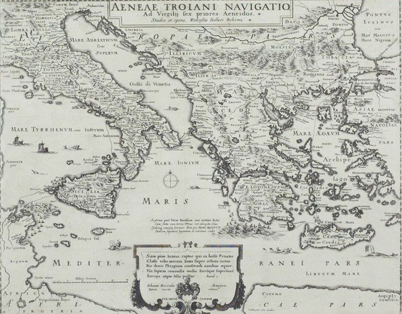
The Mediterranean, often called the cradle of Western civilization, has been a hub of trade, culture, and exploration for millennia. Its geographical position linking three continents—Europe, Asia, and Africa—makes it a crossroads for peoples and ideas. The ancient Mediterranean map is one of great interest to show how early civilizations perceived their world. Such maps did not only represent geographical knowledge but also reflected cultural, political, and mythological worldviews.
In this article, we will trace the evolution of ancient Mediterranean maps, the cultures that produced them, and what they reveal about the people who created them.
Early Mediterranean Mapping
Before the development of true cartography, ancient civilizations relied on rudimentary maps based on oral tradition, myths, and observations of the landscape. These early depictions of the Mediterranean were often symbolic rather than accurate representations of physical space.

The first civilizations to attempt mapping the Mediterranean were the Egyptians, who used maps for practical purposes like land surveying, resource management, and military expeditions. While their maps were not necessarily focused on the Mediterranean as a whole, they did offer a sense of how Egyptians viewed the surrounding territories. For example, the Egtptian World Map located on the wall of a tomb that has borne the name of an official named Hatshepsut, circa 15th century BCE, is one of the earliest examples of a geographically inspired map, but not one showing the Mediterranean basin.
The Greeks and the Rise of Geographical Knowledge
The first attempts that the Greeks produced were rather massive strides towards developing maps with forms of the Mediterranean that one would recognize today. Greek philosophers and explorers Herodotus and Pythias of Massalia, from present-day Marseille, started talking about the world more scientifically and in a much more systematic fashion.
Herodotus was, after all, dubbed the “Father of History.” He had many accounts of travels in his well-known book called Histories. In the writings, there are geographical descriptions of locations within the region of the Mediterranean.


